Geo-Grid Scan
Scan Google Maps rankings on a grid—not just one pin
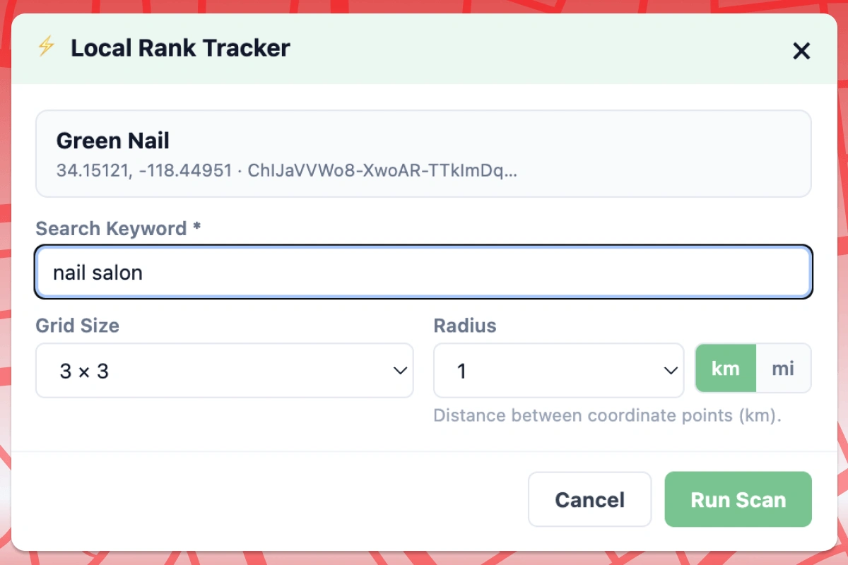
Open a business on Google Maps, set your keyword, grid size, and radius. Local Rank Tracker scans each point and captures Top 20 local pack results.
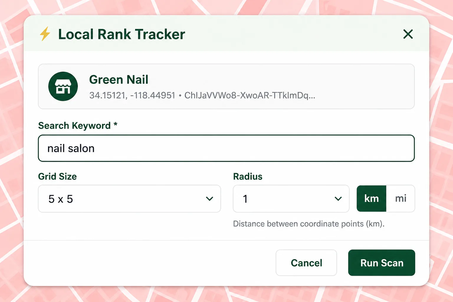
One rank number hides how visibility changes block by block
A business can rank #1 near its door and fall out of the map pack three miles away. Single-point checks miss the pattern agencies need to explain to clients.
What you get
- Side panel on Google Maps to start scans from any place page
- Grid sizes from 3×3 up to 15×15 with km or mile radius
- Dedicated scan window so your main Maps tabs stay open
- Top 20 local pack capture at every grid point
- Unlimited geo-grid scans on Free
Scan configuration options
Keyword targeting
Track service terms, city keywords, or near-me searches that drive calls.
Flexible grid
Choose grid density for urban blocks or wider suburban service areas.
Radius control
Set scan distance in km or miles to match how far the business really serves.
Place-aware center
Center on the business listing or pan the map to anchor the grid elsewhere.
Report preview
Use cases
Pre-sales discovery
Run a scan before the call and show the prospect their real coverage map.
Baseline before optimization
Save the first scan as proof of starting visibility across the service area.
Competitive pitches
Scan a keyword and see who owns each part of town—not just the pack average.
How to run Geo-Grid Scan
Install Local Rank Tracker
Add the Chrome extension and open Google Maps.
Open a business listing
Navigate to the place page you want to track.
Configure and scan
Enter keyword, grid size, and radius—then start the geo-grid scan.
Limits & Pro
- Scanning runs in a dedicated Chrome window with an active Maps session.
- Free includes unlimited scans and up to 3 report views per month.
- Pro unlocks unlimited report views, exports, and compare tools.
Related features
Geo-Grid Scan FAQ
How long does a scan take?
Scan time depends on grid size. A 3×3 grid is quick; a 15×15 grid checks 225 points. The extension paces requests to stay reliable.
Do I need a separate SaaS account?
No. Scans run in your browser on Google Maps. Reports are stored locally in Chrome.
Which countries does it support?
Any market where you can use Google Maps local results in your browser session.
Run Geo-Grid Scan in your browser
Install Local Rank Tracker and run geo-grid scans on Google Maps—starting with Geo-Grid Scan.